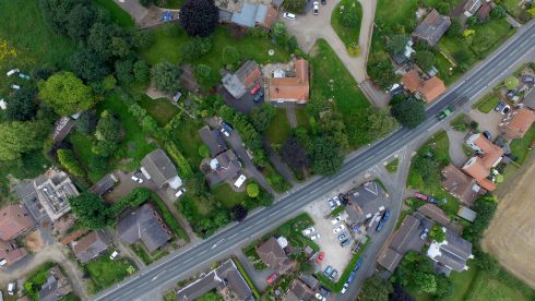
The history of Burn
In 1870-72, John Marius Wilson’s Imperial Gazetteer of England and Wales described Burn thus:
BURN, a township in Brayton parish, W. R. Yorkshire; on the Selby canal, adjacent to the river Aire, 3 miles SW of Selby. Acres, 2,372. Real property, £2,923. Pop., 320. Houses, 63.
Remarkably, while the number of houses had increased to around 190, the population has stayed fairly constant, now numbering approximately 400.
Apart from private houses, Burn now only has its pub, The Wheatsheaf, and the Methodist Chapel, but at one time the village boasted two shops – one was also the village post-office and we are still fortunate to have letters collected daily during the week. The post office and shop on Main Road closed in 1989 and the village stores on West Lane closed in 1992.
A note on Burn Cricket: before the last war, Burn cricket ground was one field in from Medvance and tea was carried in a white bucket, along with a basket of sandwiches from Mrs Simms who lived in the Council houses.
Old Burn in Pictures
(to enlarge, double left click on the photograph)


